Railways of Metrovías on the ground

Created:May 8,2002   Top > Journey in Argentina > Here
  << Prev:Subway of Buenos Aires(2)   Next:Other suburn railways >>

Premetro

Premetro's ticket
Premetro's ticket through from subway

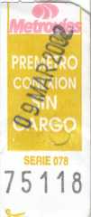
Line E's suburban terminal, Plaza de Los Virreyes is also the tram named Premetro's terminal, Int. Saguier. See the route map at the official page. The fare is 45 centavo when you ride only Premetro and 70 centavo when you change from or to the subway (it is the same to when you ride only the subway). When you get off line E at this station, a staff gives you a ticket (see the right picture) so you get on Premetro with it. This ticket is 2.5cm wide and 6cm long. When the train takes off, a conductor came to check your ticket so you show him it. There is a printing 'PREMETRO CONEXION SIN CARGO' on the ticket. It means 'transfer Premetro, no extra paiment needed'. If you are not from the subway, you purchase a ticket by the machine in the car. I think you can get a ticket like the picture.

Besides, when we went back to the subway terminal from the end of Premetro we had 'Subtepasses' so We asked the conductor to ride Premetro by Subtepass, he told us to ride without doing nothing and when arrival at the terminal he led us to a general gate of the subway and told us to use the Subtepass. If you purchase a transfer ticket in Premetro, you pass the exclusive gate at the terminal.


Premetro Premetro
Premetro@Centro Civico Enlarge Premetro@General Savio Enlarge

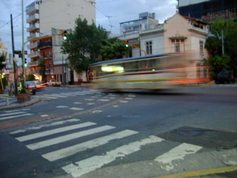
Cars seem new comparatively and made by Siemens. But they are not entirely new and there are 2 steps at the entrance. The infrastructure seems also not old so I think all of the railway was built recently. There is a wall between the crew cabin and the passenger cabin so I can't look ahead well.

Premetro
The point that 2 tracks separate Enlarge

This line branches off near the ends. The left photo is the one end, Centro Civico station and the right is the another, General Savio station. There is only one track between the junction and the former station. I think trains for 2 stations are served in terns. These 2 stations are not far so if your purpose is to ride it itself(we are exactly so), you should go to one station and walk to the another. You can go straight to the another. There are high-rise condominiums near these stations and there is also a big park and I saw many people playing football.

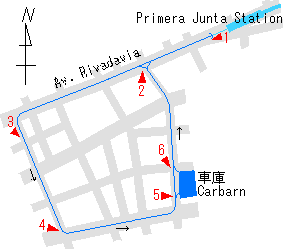
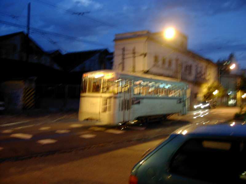
The terminal Int. Saguier is under the highway flyover. This highway connects Ezeiza international airport and Downtown so you can see the rail from the airport shuttle bus. The tracks are on the road between the terminal and Pte. Illia, connection with Metropolitano's line between Buenos Aires and Gonzalez Catan. There is a carbarn on this section.

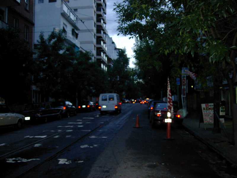
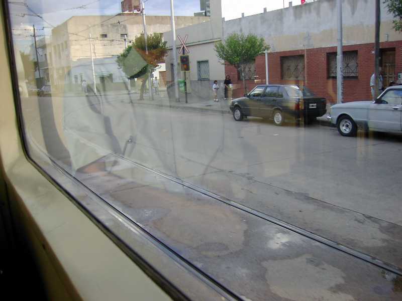
The tracks between Fernandez de la Cruz station and Pte. Ittia are separated because of one way road. The left picture is at a junction near F, de la Cruz. Excuse for the indistinct photo because of reflection of the inside.

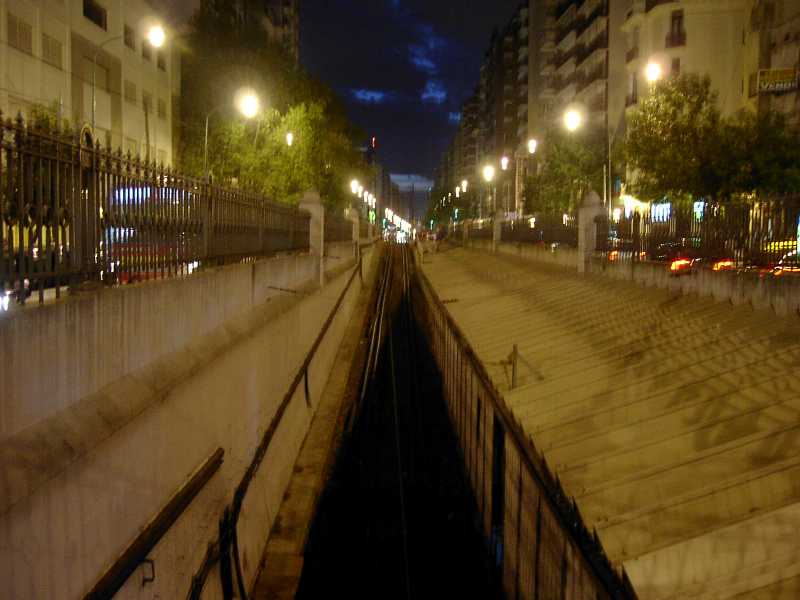
Tracks between Pte. Illia and the and are side of the road or center reservation. It is funny that tracks go around a roundabout.


Urquiza Railway Ferrocarril Urquiza

Federico Lacroze Station
Rail map of Federico Lacroze station

This is the only suburban railway operated by Metrovías departs from Federico Lacroze, the end of Line B. We didn't take this train but took some photos at this station so I show them. I also show the rail map of the station again.


Estacion Federico Lacorze
The front of Federico Lacorze station Enlarge

The left picture is the front of Federico Lacroze station (taken from right to left in the map). Tracks go from this building to the depth.

Below is cars abandoned in the large yard. The left is passenger cars, I think. They are near the Marunouchi line's cars. I saw people living in an abandoned car at the right of this picture. The right picture is the back of the yard, from left to right in the map. There are wreckages of freight cars in the left.


Abandoned car Abandoned car
Abandoned passenger cars Enlarge Abandoned freight cars Enlarge

Tram

Tram map
Rail map of the tram, arrows mean one way

A track of line A continues over the terminal Primera Junta and go to the ground and runs on the road like the right map. The roads the track run are all one way except Rivadavia avenue so the track is also one way. I made this map from my memory and the city map that the tram isn't drew so maybe it isn't correct. I don't have confidence in names of streets and avenues so I wrote only the name Rivadavia.

The track comes to the ground at the point 1 of the map. The point 2 is a junction and rails are connected to any direction.

Look at the photo at the 3. You can find that it is a narrow street considering that there is a track. This area is a high-class residential area and when we passed in front of some of the houses, lights were turned on.

The track turns at the 4. A colectivo is running in the picture. It is simply a failure, not on purpose because I like buses.

I found a car of line A in the carbarn but we can't find it in the photo. However, I don't know wheter here is its home or not because there are yards on line A, Plaza Miserere and Primera Junta, underground. I can't think subway trains run on the road every day. But it is true that sometimes subway trains run on the road so I want to see it.

When we were looking at the carbarn, suddenly a tramcar came. In fact, we had thought this track is not in service so we were surprised to see it. I took the photo in confusion so it is out of focus. Maybe this is virtually one of colectivos because I found a sign at the side of the door that is the same to colectivos'. The sign shows its telephone number and the line's name.


Tram Tram
Taken from the point 1 Enlarge Taken from the point 2 Enlarge
Tram Tram
Taken from the point 3 Enlarge Taken from the point 4 Enlarge
Carbarn Tramcar
Taken from the point 5 Enlarge Taken from the point 6 Enlarge

Back to index page   << Prev:Subway of Buenos Aires(2)   Next:Other suburn railways >>